This topic is in the 2016 archive. You can read it and like its posts here. It is read only.
Archive 2016Official drone photography IMAGE thread. (Not primarily for discussion, ...
p.22 #1Official drone photography IMAGE thread. (Not primarily for discussion, see post #1)
Morning Star Peak, Sperry Peak, and Vesper Peak, taken yesterday with my DJI Mavic 2 Pro:
https://photos.smugmug.com/Places/Aerial-Images/i-XGKvS5H/0/aaca851e/X2/20200727-DJI_0452-Edit-X2.jpg
https://photos.smugmug.com/Places/Aerial-Images/i-XGKvS5H/0/aaca851e/X2/20200727-DJI_0452-Edit-X2.jpg
Jul 28, 2020 at 12:24 PM
p.22 #2Official drone photography IMAGE thread. (Not primarily for discussion, see post #1)
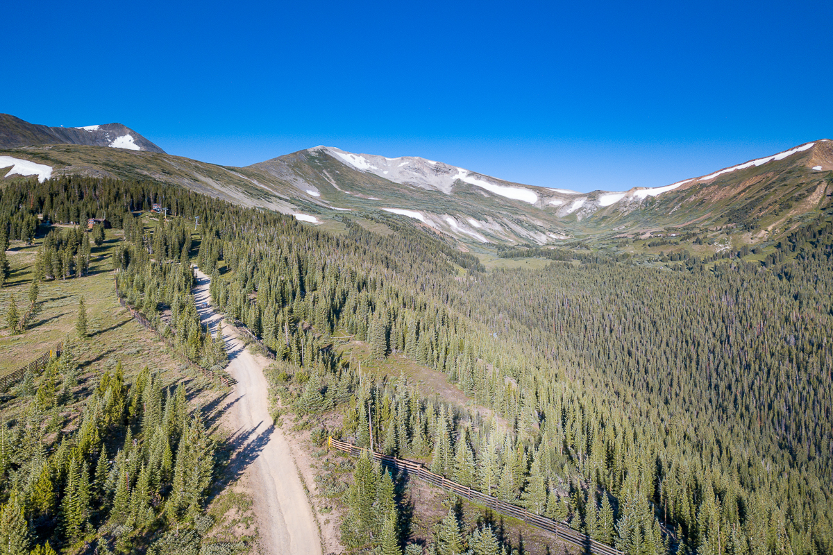
Breckenridge, Colorado - DJI Mavic Pro
Hike up to Peak 10 (the peak on the left) from Beaver Run.
Hike up to Peak 10 (the peak on the left) from Beaver Run.
 |
||
 |
||
|
Aug 07, 2020 at 12:06 PM
p.22 #3Official drone photography IMAGE thread. (Not primarily for discussion, see post #1)
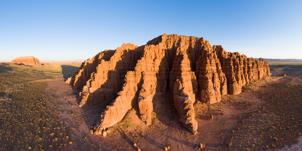
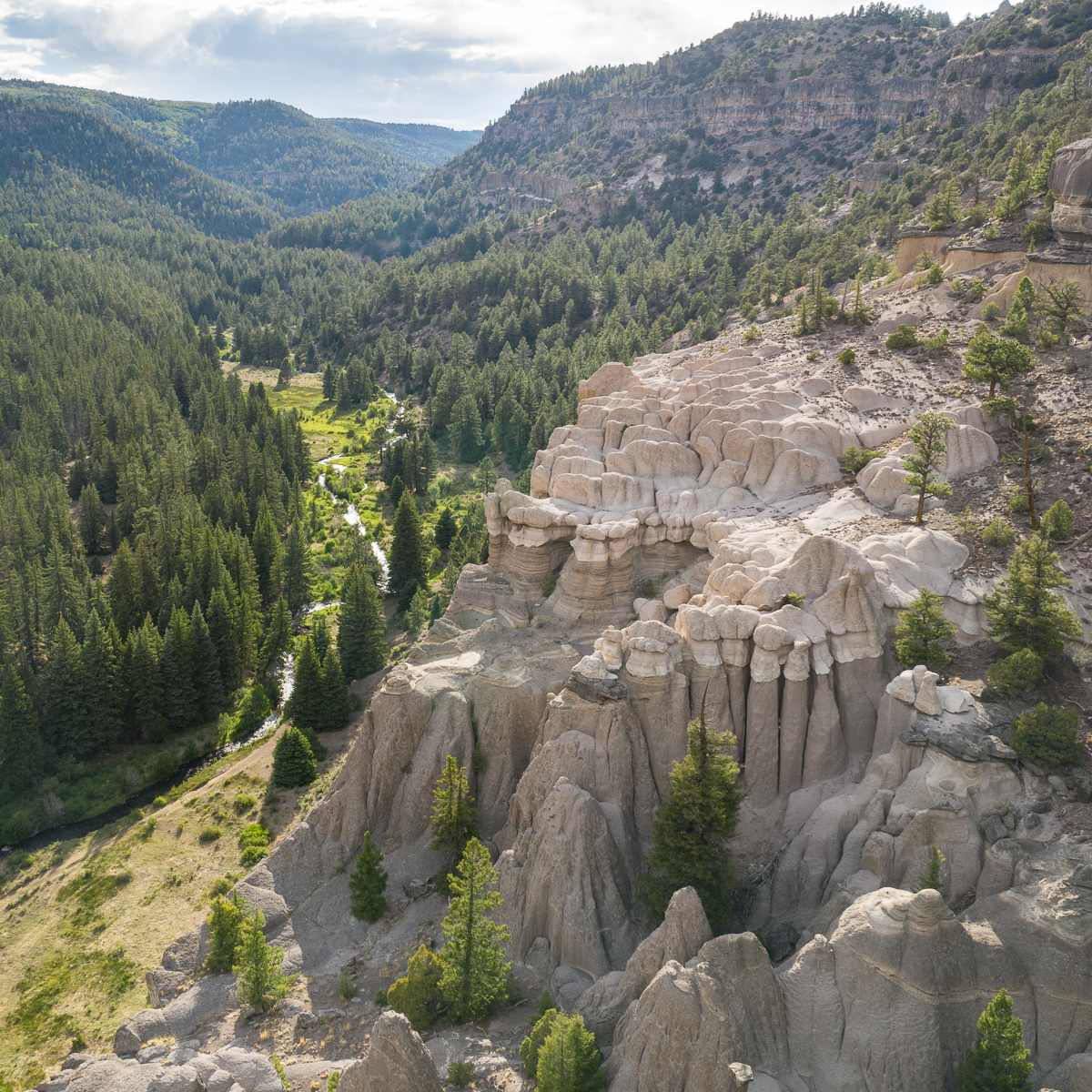
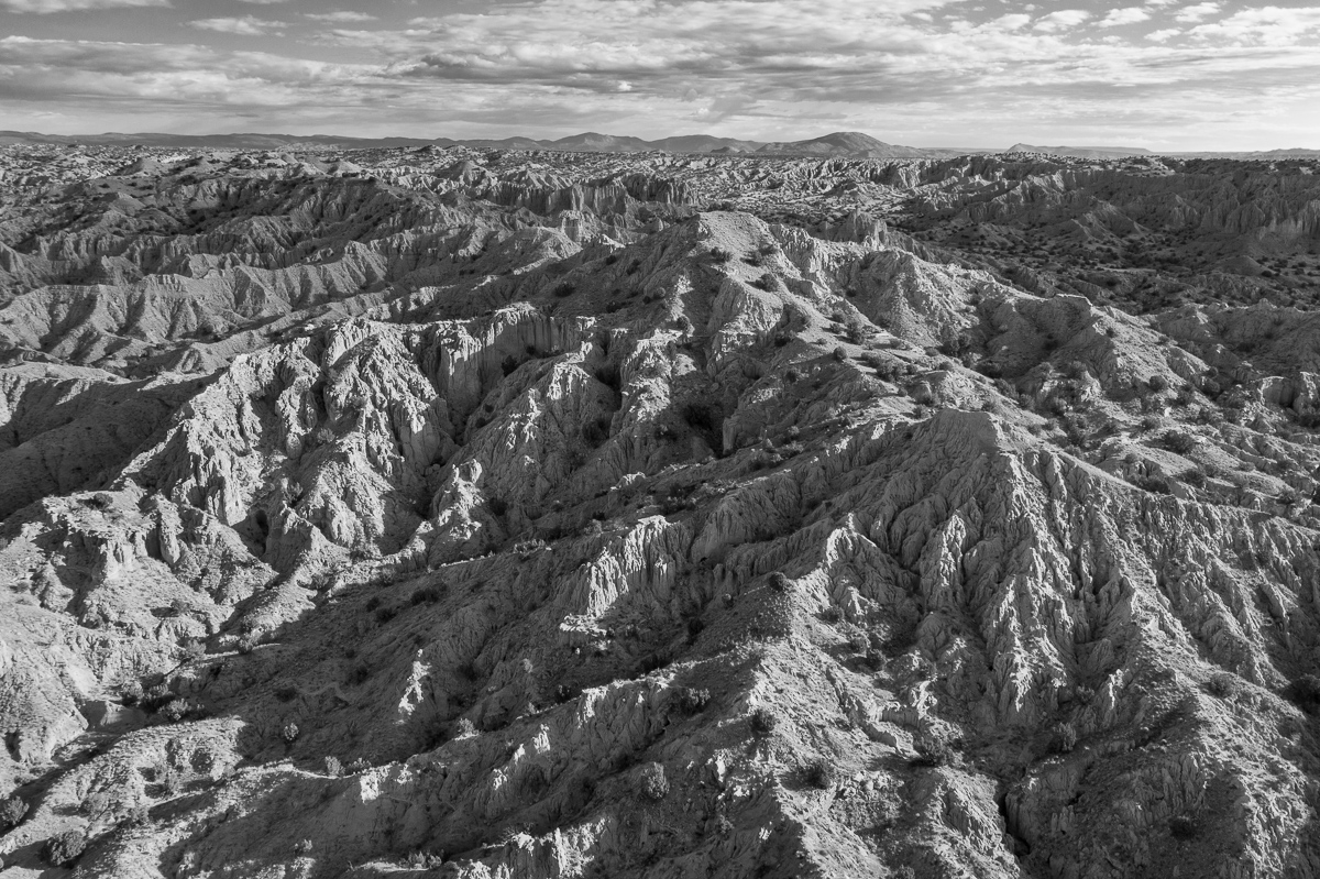
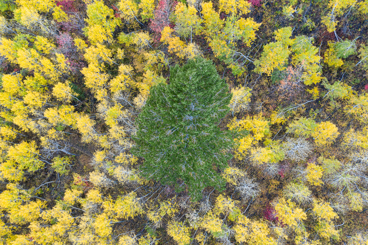
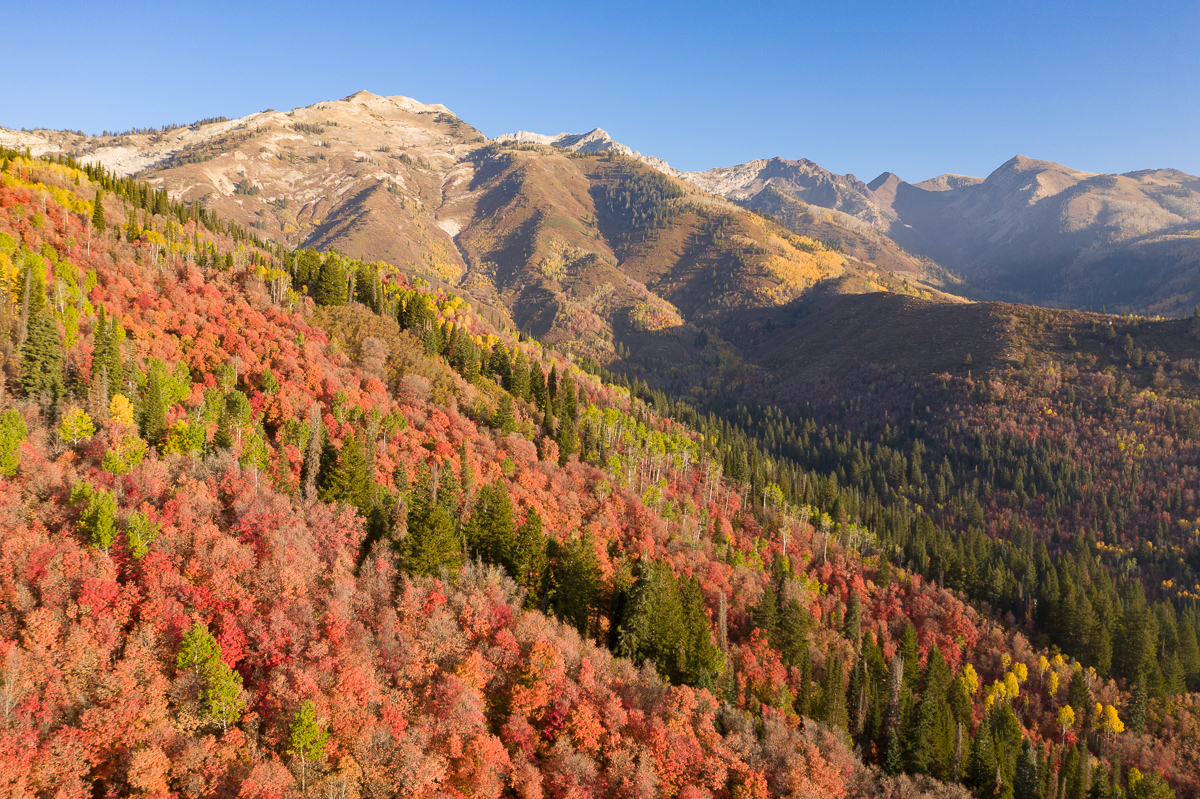
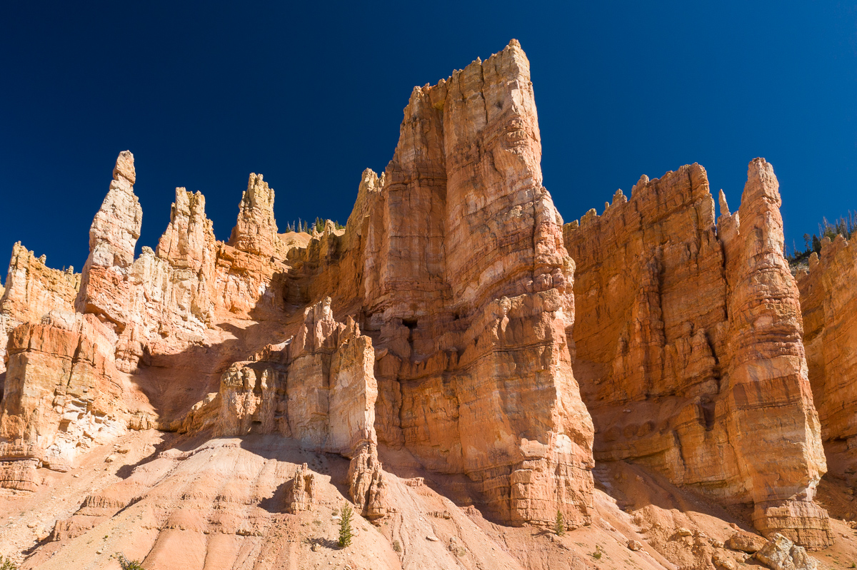
UT CO NM sculpted landscape
Aug 10, 2020 at 11:11 AM
p.22 #4Official drone photography IMAGE thread. (Not primarily for discussion, see post #1)
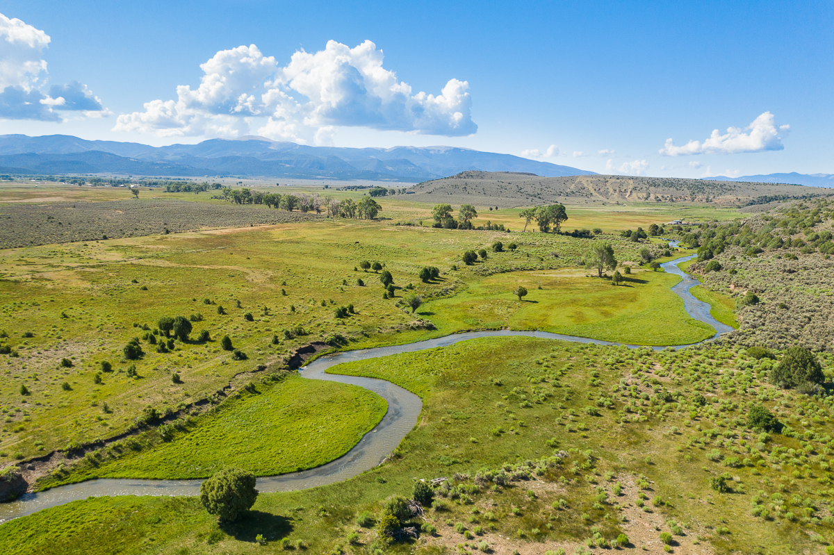
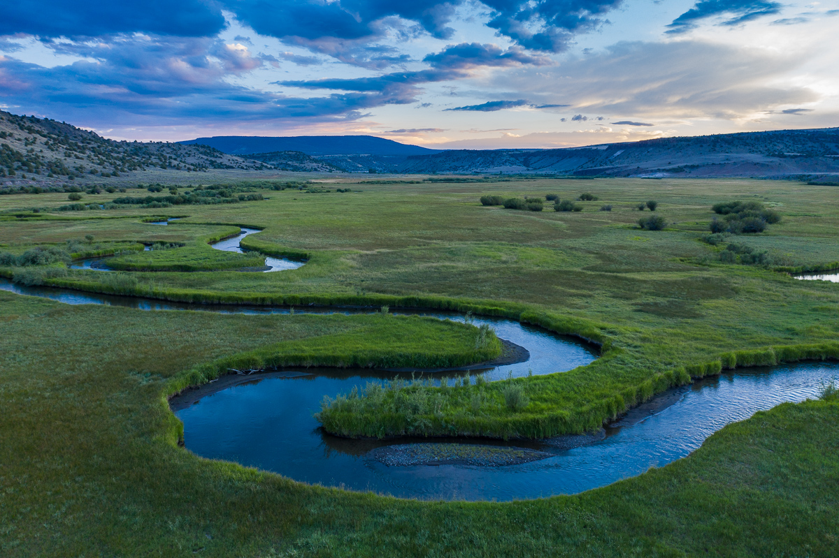
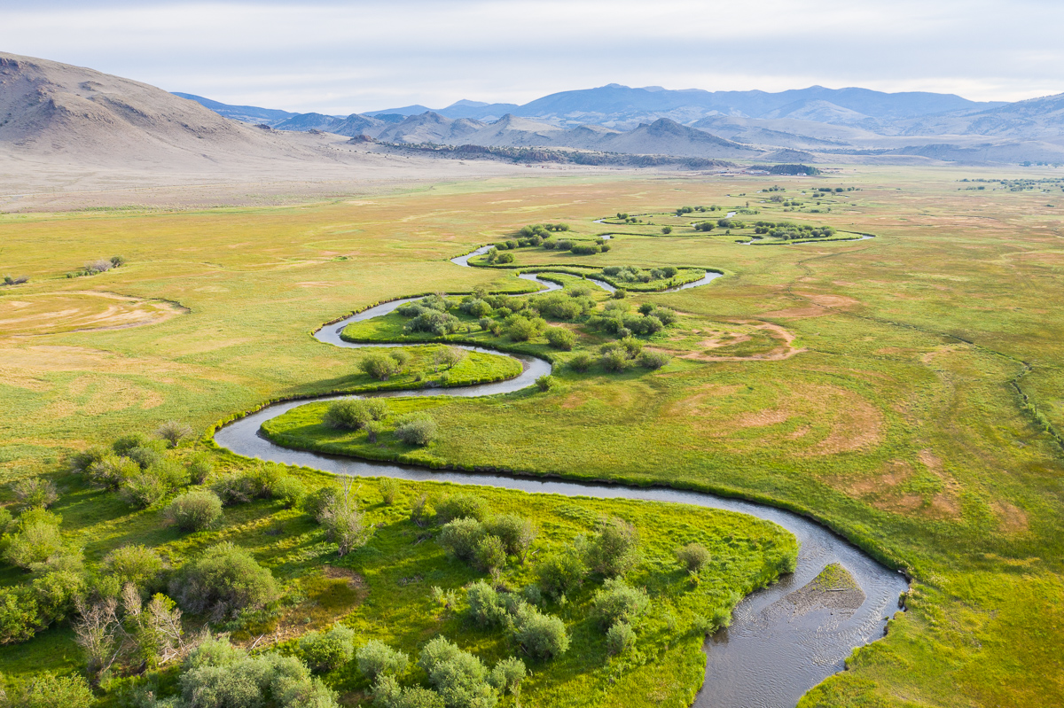
serpintine streams. noon, sunset, sunrise
Aug 16, 2020 at 04:38 PM
p.22 #5Official drone photography IMAGE thread. (Not primarily for discussion, see post #1)
Near Mount Shuksan, taken a couple days ago with my Mavic 2 Pro.
https://photos.smugmug.com/Places/Aerial-Images/i-n23PfPP/0/ee3607d1/X2/20200818-DJI_0903-Edit-X2.jpg
https://photos.smugmug.com/Places/Aerial-Images/i-Ls6ph7V/0/e6c33ee1/X2/20200818-DJI_0254-Edit-X2.jpg
https://photos.smugmug.com/Places/Aerial-Images/i-fKxTLxK/0/7ac79456/X2/20200818-DJI_0459-Edit-X2.jpg
Edited on Aug 22, 2020 at 01:35 AM · View previous versions
Aug 21, 2020 at 04:54 PM
p.22 #6Official drone photography IMAGE thread. (Not primarily for discussion, see post #1)
And a few more from the following morning, looking toward Mount Baker. Perhaps interestingly, the shadow on Mount Baker (in the first image below) is from Mount Shuksan (see my previous post).
https://photos.smugmug.com/Places/Aerial-Images/i-HBHRxM3/0/eb5a96a6/X2/20200819-DJI_0635-Edit-X2.jpg
https://photos.smugmug.com/Places/Aerial-Images/i-265m84V/0/e7386cfe/X2/20200819-DJI_0660-Edit-X2.jpg
https://photos.smugmug.com/Places/Aerial-Images/i-DH45VS2/0/376b3e20/X2/20200819-DJI_0750-Edit-X2.jpg
Aug 22, 2020 at 01:29 AM
p.22 #7Official drone photography IMAGE thread. (Not primarily for discussion, see post #1)
deleted
Edited on Aug 25, 2020 at 05:16 AM · View previous versions
Edited on Aug 25, 2020 at 05:16 AM · View previous versions
Aug 23, 2020 at 03:18 PM
p.22 #8Official drone photography IMAGE thread. (Not primarily for discussion, see post #1)
deleted
Edited on Aug 25, 2020 at 05:17 AM · View previous versions
Edited on Aug 25, 2020 at 05:17 AM · View previous versions
Aug 23, 2020 at 03:21 PM
p.22 #9Official drone photography IMAGE thread. (Not primarily for discussion, see post #1)
ISO1600 wrote:
Minna-Jima, Okinawa Prefecture, Japan
Mavic Air 2
https://scontent-nrt1-1.xx.fbcdn.net/v/t1.0-9/106454417_10157107277343204_969891915438638022_o.jpg
The images in your last two posts are not showing up, at least for me!
Keith W.
Minna-Jima, Okinawa Prefecture, Japan
Mavic Air 2
https://scontent-nrt1-1.xx.fbcdn.net/v/t1.0-9/106454417_10157107277343204_969891915438638022_o.jpg
The images in your last two posts are not showing up, at least for me!
Keith W.
Aug 24, 2020 at 11:00 PM
p.22 #10Official drone photography IMAGE thread. (Not primarily for discussion, see post #1)
Too bad that this thread has not had much activity. Here are a couple images taken yesterday, near Baker Lake, with my Mavic 2 Pro.
https://photos.smugmug.com/Places/Aerial-Images/i-v4qc95H/0/80a5d7f7/X2/20201129-DJI_0779-Edit-X2.jpg
https://photos.smugmug.com/Places/Aerial-Images/i-KKkRZRz/0/ed027e63/X2/20201129-DJI_0949-Edit-X2.jpg
https://photos.smugmug.com/Places/Aerial-Images/i-v4qc95H/0/80a5d7f7/X2/20201129-DJI_0779-Edit-X2.jpg
https://photos.smugmug.com/Places/Aerial-Images/i-KKkRZRz/0/ed027e63/X2/20201129-DJI_0949-Edit-X2.jpg
Nov 30, 2020 at 01:18 PM
p.22 #11Official drone photography IMAGE thread. (Not primarily for discussion, see post #1)
I started posting on the landscape forum.
Is there an easy way to cross post?
Is there an easy way to cross post?
Nov 30, 2020 at 06:45 PM
p.22 #12Official drone photography IMAGE thread. (Not primarily for discussion, see post #1)
It used to be the case that drone photography was not well received in the landscape forum here on FM. Perhaps that has changed a bit, especially as the quality of the drone images has increased over time. Thanks for showing your images here!
Keith W.
Keith W.
Nov 30, 2020 at 08:42 PM
p.22 #13Official drone photography IMAGE thread. (Not primarily for discussion, see post #1)
a drone is the ultimate tripod. but it's noisy. and sometimes feels like cheating. but I'm a landscape photographer. The new view has reinvigorated my photography.
Nov 30, 2020 at 09:48 PM
p.22 #14Official drone photography IMAGE thread. (Not primarily for discussion, see post #1)
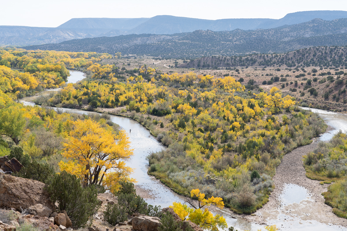
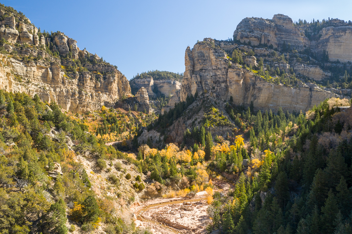
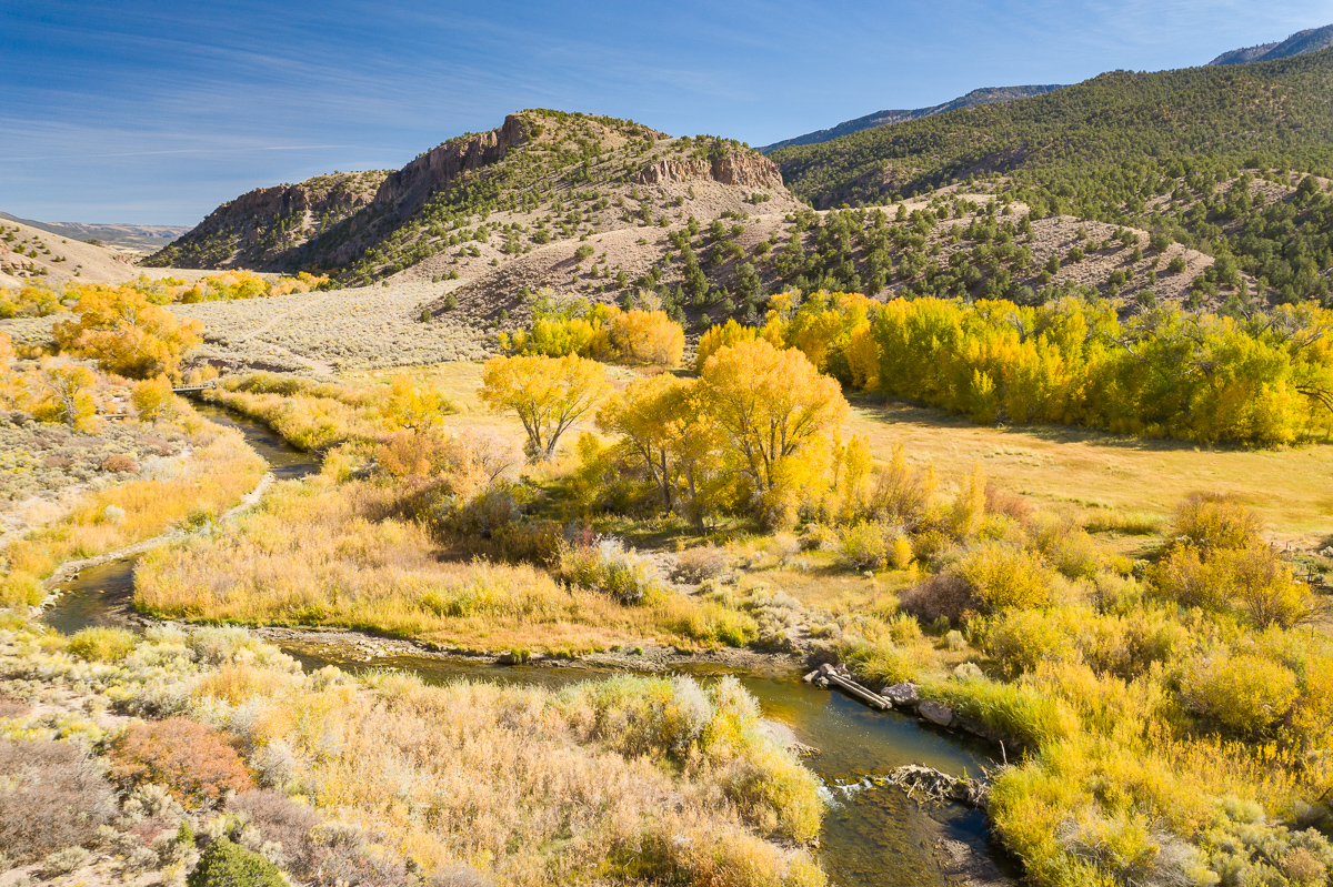
on the way to Cedar Breaks. fly outside of the park.
Sevier River
 |
||
 |
||
|
|
||
 |
||
|
|
||
 |
||
|
Sevier River
Nov 30, 2020 at 09:53 PM
p.22 #15Official drone photography IMAGE thread. (Not primarily for discussion, see post #1)
Here are a couple images taken with my Mavic 2 Pro, while on a recent kayaking outing.
https://photos.smugmug.com/Places/Aerial-Images/i-GGgv9Md/0/a3f4b8cb/X2/20201204-DJI_0435-Edit-X2.jpg
https://photos.smugmug.com/Places/Aerial-Images/i-6Lp2Tmw/0/b892dcda/X2/20201204-DJI_0570-Edit-X2.jpg
https://photos.smugmug.com/Places/Aerial-Images/i-GGgv9Md/0/a3f4b8cb/X2/20201204-DJI_0435-Edit-X2.jpg
https://photos.smugmug.com/Places/Aerial-Images/i-6Lp2Tmw/0/b892dcda/X2/20201204-DJI_0570-Edit-X2.jpg
Dec 07, 2020 at 12:42 AM
p.22 #16Official drone photography IMAGE thread. (Not primarily for discussion, see post #1)
kwilliam8 wrote:
Here are a couple images taken with my Mavic 2 Pro, while on a recent kayaking outing.
Hi. I was looking at the mp2 upgrade from my mp1 - do you ever get wish you could fly higher then the 500m limit or do NFZ hinder you at all? And overall happy with the raw pics?
Here are a couple images taken with my Mavic 2 Pro, while on a recent kayaking outing.
Hi. I was looking at the mp2 upgrade from my mp1 - do you ever get wish you could fly higher then the 500m limit or do NFZ hinder you at all? And overall happy with the raw pics?
Jan 20, 2021 at 03:44 PM
p.22 #17Official drone photography IMAGE thread. (Not primarily for discussion, see post #1)
California Lighthouse, Aruba... M2P
http://donzo98.easycgi.com/2021Pics/Aruba2021-70.jpg
http://donzo98.easycgi.com/2021Pics/Aruba2021-70.jpg
Jan 20, 2021 at 09:08 PM
p.22 #18Official drone photography IMAGE thread. (Not primarily for discussion, see post #1)
pointbob wrote:
Hi. I was looking at the mp2 upgrade from my mp1 - do you ever get wish you could fly higher then the 500m limit or do NFZ hinder you at all? And overall happy with the raw pics?
Hi Bob. I never owned the Mavic 1, so I can not comment on the differences between that and the Mavic 2 Pro. I had previously owned a Phantom 3 (many years ago), and was never pleased with the dynamic range of that camera. I gave up on the p3 after about a year. The dynamic range of the Mavic 2 Pro (m2p) is pretty good (shooting raw images). The dynamic range isn’t close to something like the Nikon D850 (of course), but it is good enough to pull some shadows (if shot at base ISO). The resolution is pretty good too. I regularly print my m2p images at a size of 14 x 21 inches, and am very pleased with the results. Also, I have the smart controller and am extremely pleased with that (both visibility of screen, and reliability of drone control). The size and portability of the m2p is also great. I have thoroughly enjoyed using the Mavic 2 Pro, and it is a keeper for me!
You also asked about flight restrictions – height limits (which is actually 400 feet) and no fly zones. And don’t forget about flying within line of sight and not flying over people. These are all legal constraints on drone flights imposed by the FAA. I always fly my drone legally. Yes, there are times that I have wished that I did not have some of these constraints, but I understand why these rules have been imposed, and I fly within those rules. Let me give one example. For the two images above (near Goat Island in Skagit Bay, Washington State), there is a no-fly zone very close to where I shot those images. If that NFZ was not there, I could have flown on the other side of Goat Island and gotten some great images of Goat Island. I did not do that. Good thing too, because that NFZ is due to the US Naval Air Station at Whidbey Island, and I frequently see US Navy Growler jets flying low (within their allowed flight paths) to and from their air base. Even with all the restrictions (National parks off limits, Washington state parks off limits, etc.), there are still many opportunities for wonderful drone images. I thoroughly enjoy using my drone, but I do have to do some pretty thorough research ahead of time about where I can fly.
Finally, if you don’t already know about it, you might want to check out other forums that are more heavily used by drone enthusiasts. I particularly like the following site - https://mavicpilots.com/. Sorry about the long responses to your short questions! I hope I have helped a bit.
Keith W.
kwilliam8 wrote
Here are a couple images taken with my Mavic 2 Pro, while on a recent kayaking outing.Hi Bob. I never owned the Mavic 1, so I can not comment on the differences between that and the Mavic 2 Pro. I had previously owned a Phantom 3 (many years ago), and was never pleased with the dynamic range of that camera. I gave up on the p3 after about a year. The dynamic range of the Mavic 2 Pro (m2p) is pretty good (shooting raw images). The dynamic range isn’t close to something like the Nikon D850 (of course), but it is good enough to pull some shadows (if shot at base ISO). The resolution is pretty good too. I regularly print my m2p images at a size of 14 x 21 inches, and am very pleased with the results. Also, I have the smart controller and am extremely pleased with that (both visibility of screen, and reliability of drone control). The size and portability of the m2p is also great. I have thoroughly enjoyed using the Mavic 2 Pro, and it is a keeper for me!
You also asked about flight restrictions – height limits (which is actually 400 feet) and no fly zones. And don’t forget about flying within line of sight and not flying over people. These are all legal constraints on drone flights imposed by the FAA. I always fly my drone legally. Yes, there are times that I have wished that I did not have some of these constraints, but I understand why these rules have been imposed, and I fly within those rules. Let me give one example. For the two images above (near Goat Island in Skagit Bay, Washington State), there is a no-fly zone very close to where I shot those images. If that NFZ was not there, I could have flown on the other side of Goat Island and gotten some great images of Goat Island. I did not do that. Good thing too, because that NFZ is due to the US Naval Air Station at Whidbey Island, and I frequently see US Navy Growler jets flying low (within their allowed flight paths) to and from their air base. Even with all the restrictions (National parks off limits, Washington state parks off limits, etc.), there are still many opportunities for wonderful drone images. I thoroughly enjoy using my drone, but I do have to do some pretty thorough research ahead of time about where I can fly.
Finally, if you don’t already know about it, you might want to check out other forums that are more heavily used by drone enthusiasts. I particularly like the following site - https://mavicpilots.com/. Sorry about the long responses to your short questions! I hope I have helped a bit.
Keith W.
Jan 20, 2021 at 10:43 PM

p.22 #19Official drone photography IMAGE thread. (Not primarily for discussion, see post #1)
Seattle at dusk.

May 05, 2021 at 10:45 AM
p.22 #20Official drone photography IMAGE thread. (Not primarily for discussion, see post #1)
Seattle Two Bridges

May 14, 2021 at 01:49 PM