N4865G wrote:
Crossing DHL Boeing 777 1000 feet above us with Qatar Airways Boeing 787 several thousand feet higher.
I wish we were a bit slower, so the 787 would not start hiding behind the windscreen edge...
This picture is a great illustration of how accurate modern navigation systems are.
We all follow the same airway navigating with GPS-fed system with accuracy down to several meters.
The only way to separate us is vertically.
On some less-reliable routes in the world we randomly fly 1 or 2 miles offset from the airway to the right to increase our chances of avoiding other aircraft in case Air Traffic Control makes a mistake and assign the same altitude for flight to both aircraft.
There is also the TCAS (traffic collision avoidance system) which uses onboard transponders which communicate between aircraft and issue resolution messages to both aircraft to climb or to descend in case they are on a collision course.
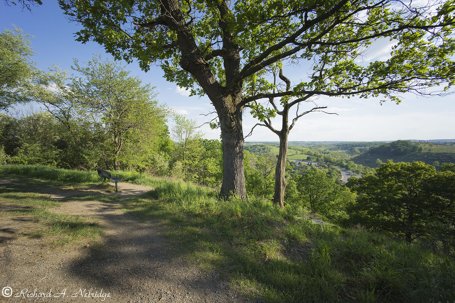
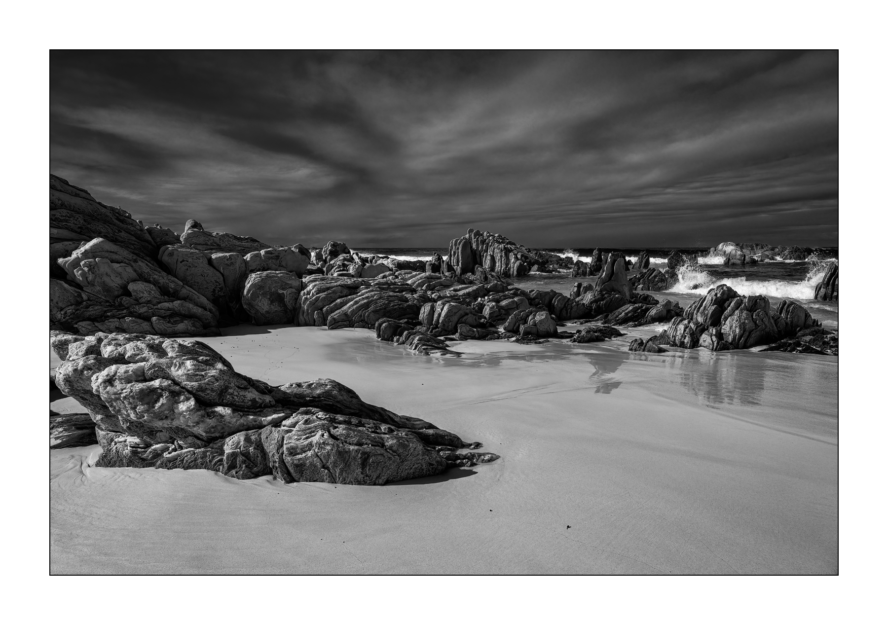
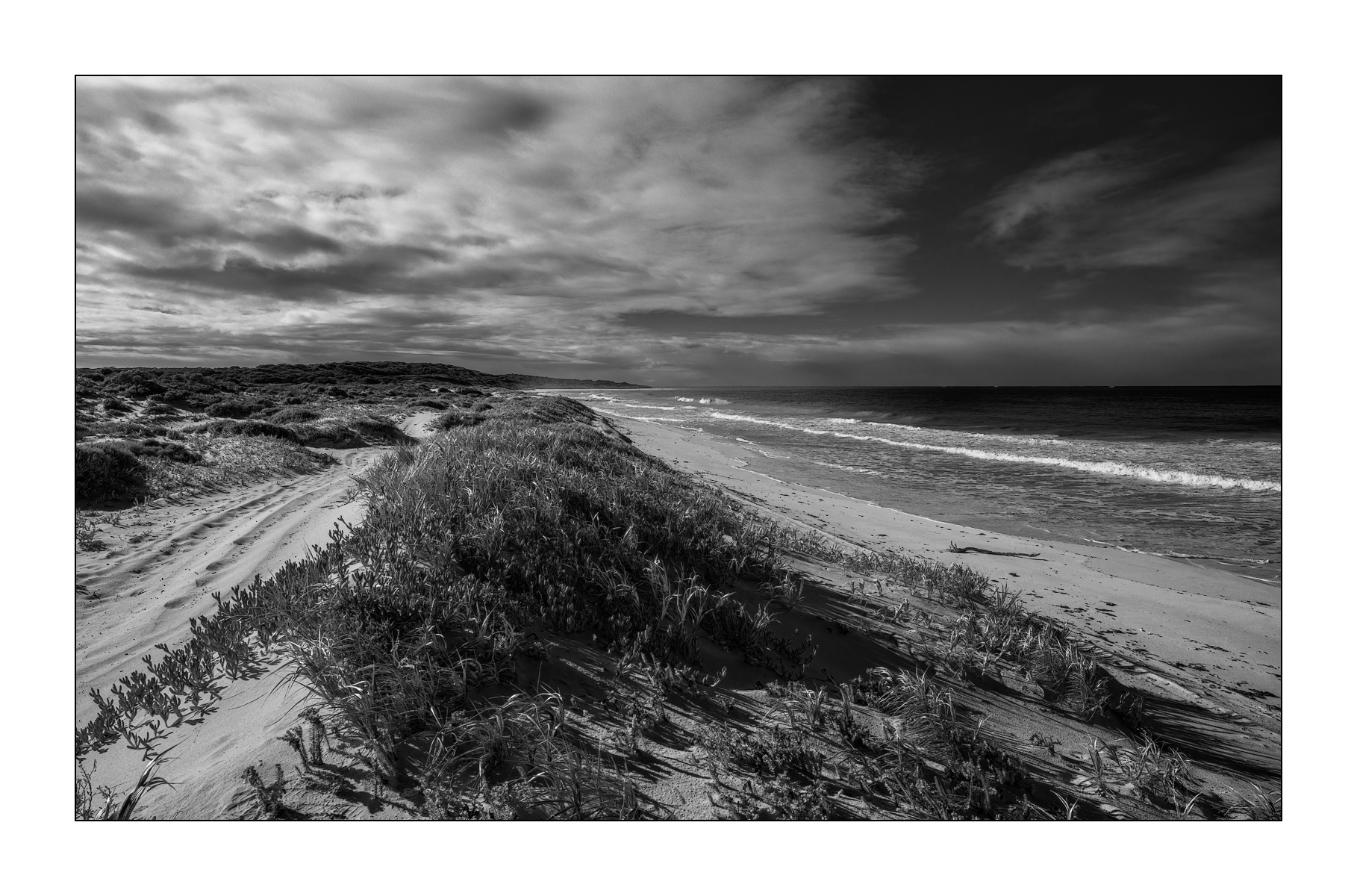
This was taken with my newly acquired (arrived yesterday) from Fred, his Voigtlander 12mm f5.6 Ultra-Wide Heliar Aspherical III lens in M-mount. This is my first time outing with the lens and by far the widest angle lens that I have ever shot.
Looking at 2 trees, the larger, closer and more prominent one is alive and the one behind is dead. In the image foreground and to the left you see the top of the Preserve and to the right of and just beyond the trees you look across the Lehigh County Zoo and across the Preserve into the distance.
Tripod mounted Sony A7r and Voigtlander 12mm f5.6 Ultra-Wide Heliar Aspherical III lens in M-mount.
ISO 100, f11?, 1/80 second.
May 17, 2021
At the top of the Trexler Nature Preserve, Schnecksville, PA.
Barry Haines wrote:
Thank you most kindly....just a bit of nostalgia/fun from the past...Sony cameras have come along way since the release of this APS-C camera in 2005 (They hadn't even acquired Minolta then!)....Cheers Barry
Many thanks Barry. As always you are putting your gear, A7R4 + GM 50/1.2 in this case, to excellent use.
Back then I think I had a Canon P&S pocket camera, got a Nikon D40 in 2007, and my first Sony camera, an NEX-5N IIRC in 2013 so that I finally had a camera I could use my recently acquired Leica-R APO 280/4 lens on that I developed an interest in and bought long after Leica gave up on that product line. In fact the Sony A7R was the first FF camera I used the 280/4 on. And surprise, surprise I discovered to my amazement that this particular camera/lens combination exhibited very pronounced shutter shock. Oh well.
Indeed, Sony has come a long way. They need to come a bit further to resolve the aggravating EVF/Eye sensor issue on their flagship A1 that otherwise is an extremely desirable camera for my shooting interests.
N4865G wrote:
Crossing DHL Boeing 777 1000 feet above us with Qatar Airways Boeing 787 several thousand feet higher.
I wish we were a bit slower, so the 787 would not start hiding behind the windscreen edge...
This picture is a great illustration of how accurate modern navigation systems are.
We all follow the same airway navigating with GPS-fed system with accuracy down to several meters.
The only way to separate us is vertically.
On some less-reliable routes in the world we randomly fly 1 or 2 miles offset from the airway to the right to increase our chances of avoiding other aircraft in case Air Traffic Control makes a mistake and assign the same altitude for flight to both aircraft.
There is also the TCAS (traffic collision avoidance system) which uses onboard transponders which communicate between aircraft and issue resolution messages to both aircraft to climb or to descend in case they are on a collision course.