Ronny Olsson wrote:
not too good .. a lot with CA but is quite easy to edit .. but I really like this lens is very special , despite the image quality if you pixelpip
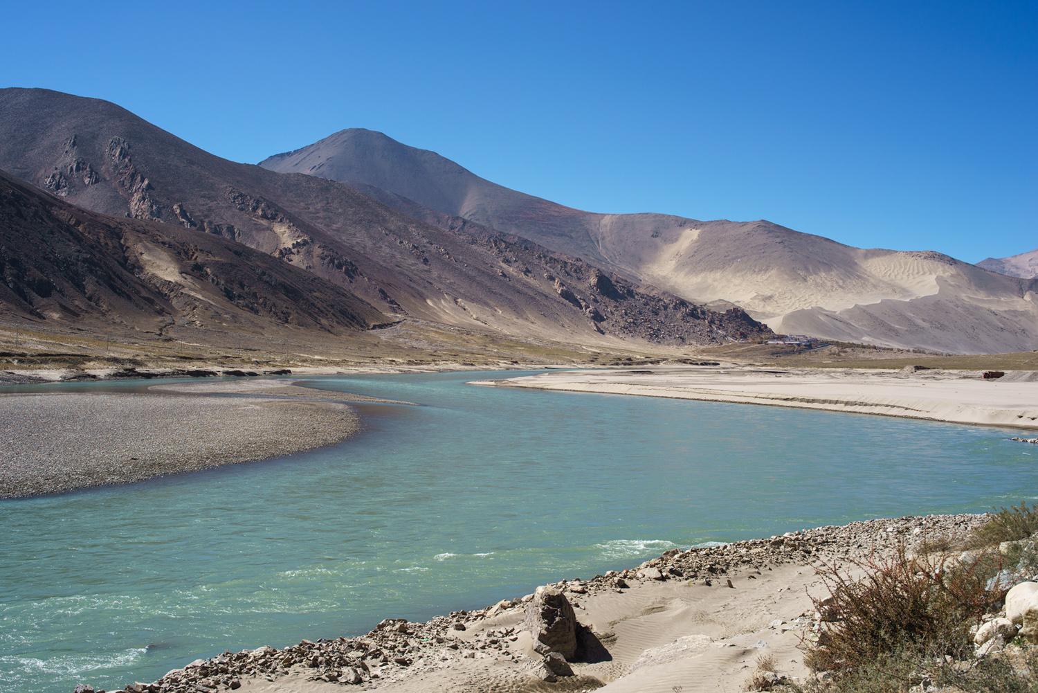
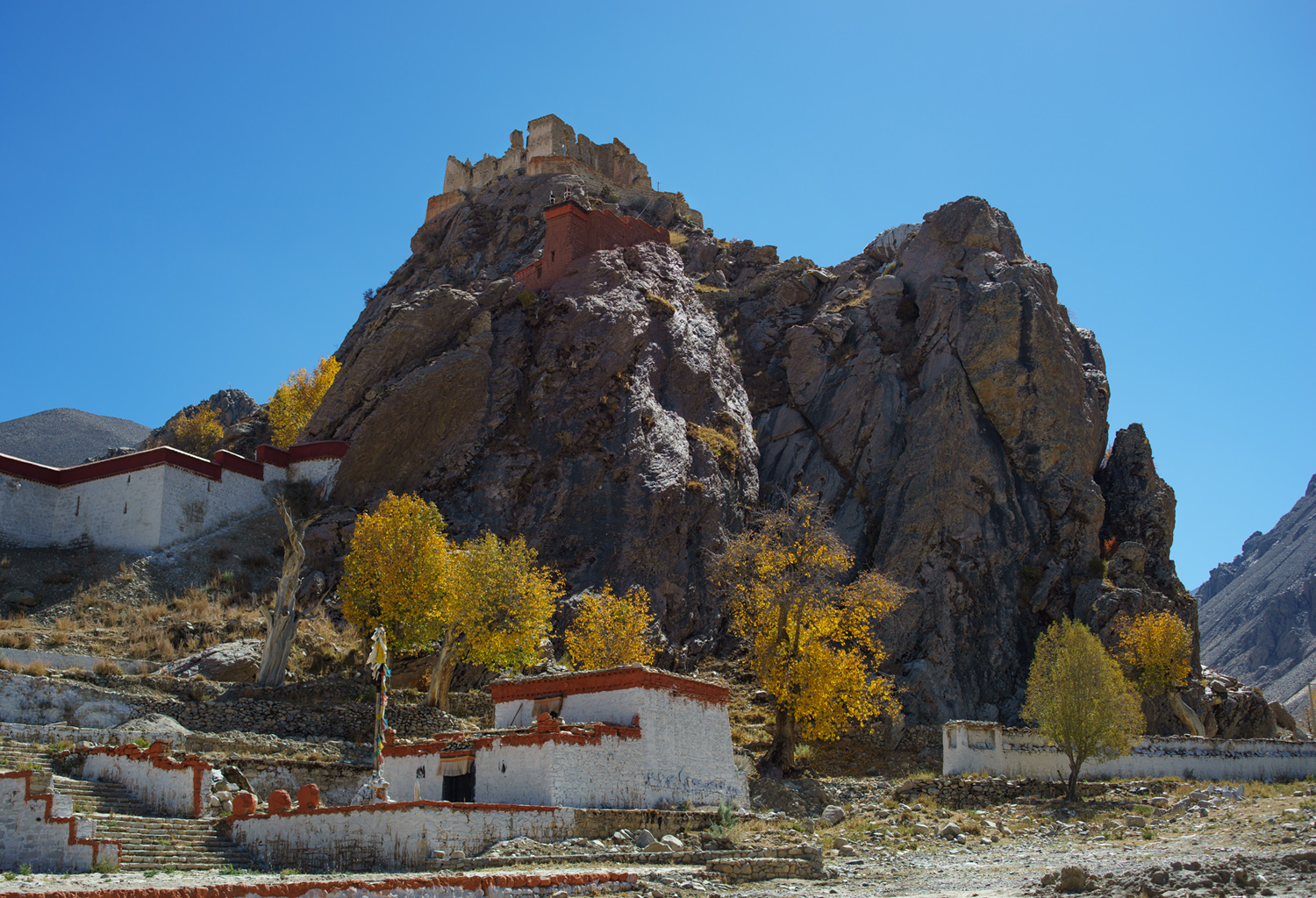
Contax 35-70/3.4. In #1 you can just see the small rise near the bottom of the long ridge. That is the ruined palace shown in #2. It was a monastery built by the Jonangpa just before the Tibetan civil war of 1642, which ushered in the school of the Dalai Lamas, the Gelugpa. The DL's people desecrated the site, threw the sacred relics of the Jonangpa in the river and took over the monastery. A bitter sweet place for many of us.
I took this shot 15 years ago to the very day (2006/05/18 - UK time) - Sony Cyber Shot DSC-R1 (10 megapixel APS-C cmos sensor)
The DSC-R1 was released in 2005 - I believe this was Sony's very first mirrorless APS-C camera, albeit with a fixed Zeiss zoom lens
Barry Haines wrote:
How time (and technology) flies...
I took this shot 15 years ago to the very day (2006/05/18 - UK time) - Sony Cyber Shot DSC-R1 (10 megapixel APS-C cmos sensor)
The DSC-R1 was released in 2005 - I believe this was Sony's very first mirrorless APS-C camera, albeit with a fixed Zeiss zoom lens
photonoclast wrote:
Dynamite image. A great example of how capture technology is a distant third behind the photographer's eye and PP skill in image making.
Thank you most kindly....just a bit of nostalgia/fun from the past...Sony cameras have come along way since the release of this APS-C camera in 2005 (They hadn't even acquired Minolta then!)....Cheers Barry
Barry Haines wrote:
How time (and technology) flies...
I took this shot 15 years ago to the very day (2006/05/18 - UK time) - Sony Cyber Shot DSC-R1 (10 megapixel APS-C cmos sensor)
The DSC-R1 was released in 2005 - I believe this was Sony's very first mirrorless APS-C camera, albeit with a fixed Zeiss zoom lens
Crossing DHL Boeing 777 1000 feet above us with Qatar Airways Boeing 787 several thousand feet higher.
I wish we were a bit slower, so the 787 would not start hiding behind the windscreen edge...
This picture is a great illustration of how accurate modern navigation systems are.
We all follow the same airway navigating with GPS-fed system with accuracy down to several meters.
The only way to separate us is vertically.
On some less-reliable routes in the world we randomly fly 1 or 2 miles offset from the airway to the right to increase our chances of avoiding other aircraft in case Air Traffic Control makes a mistake and assign the same altitude for flight to both aircraft.
There is also the TCAS (traffic collision avoidance system) which uses onboard transponders which communicate between aircraft and issue resolution messages to both aircraft to climb or to descend in case they are on a collision course.












 eeehhh bokehn on a 16mm fisheye should not be good