Congratulations to Jeffrey for winning Feature Thread of the Week with 8 votes - View Previous Winners
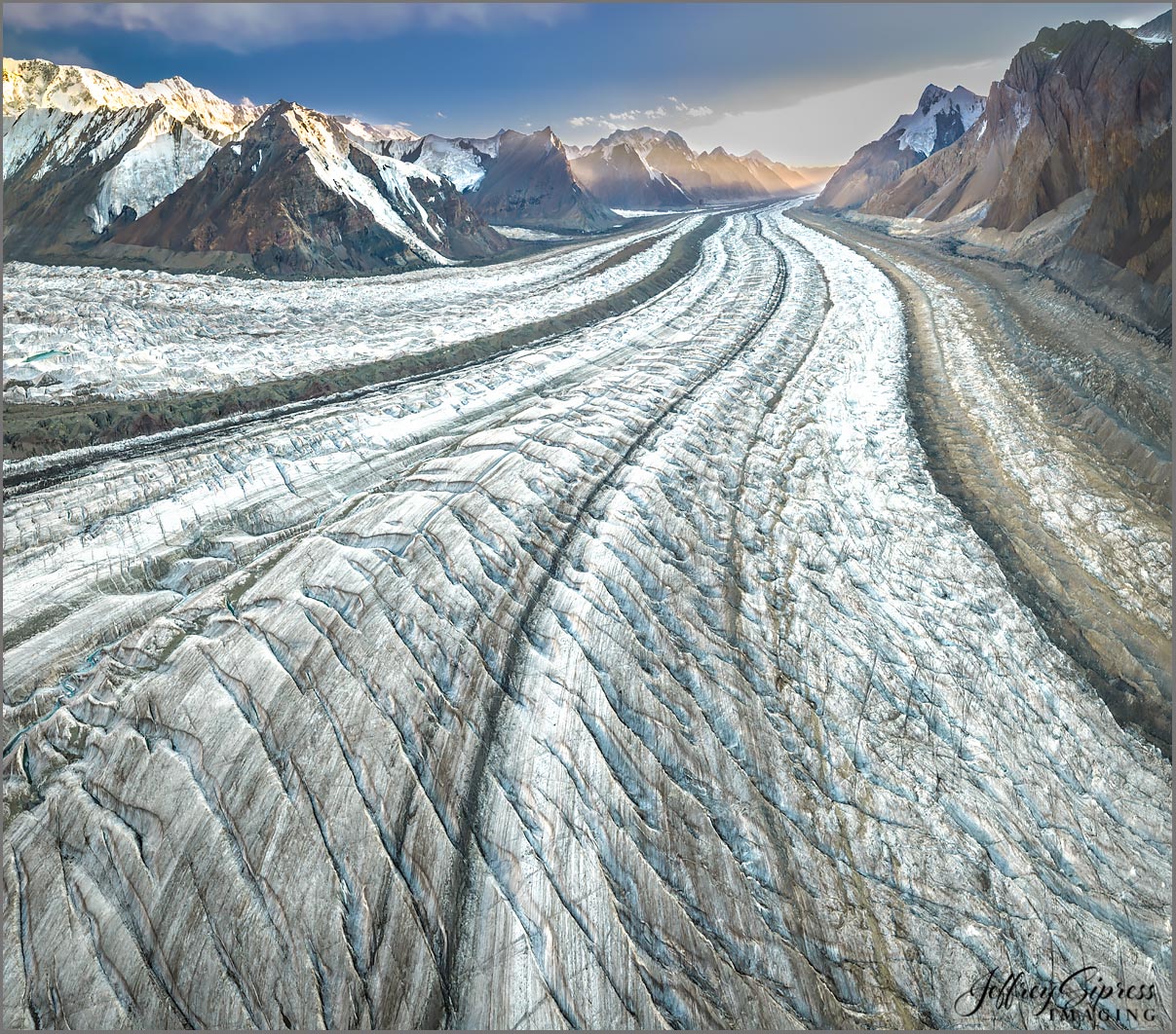
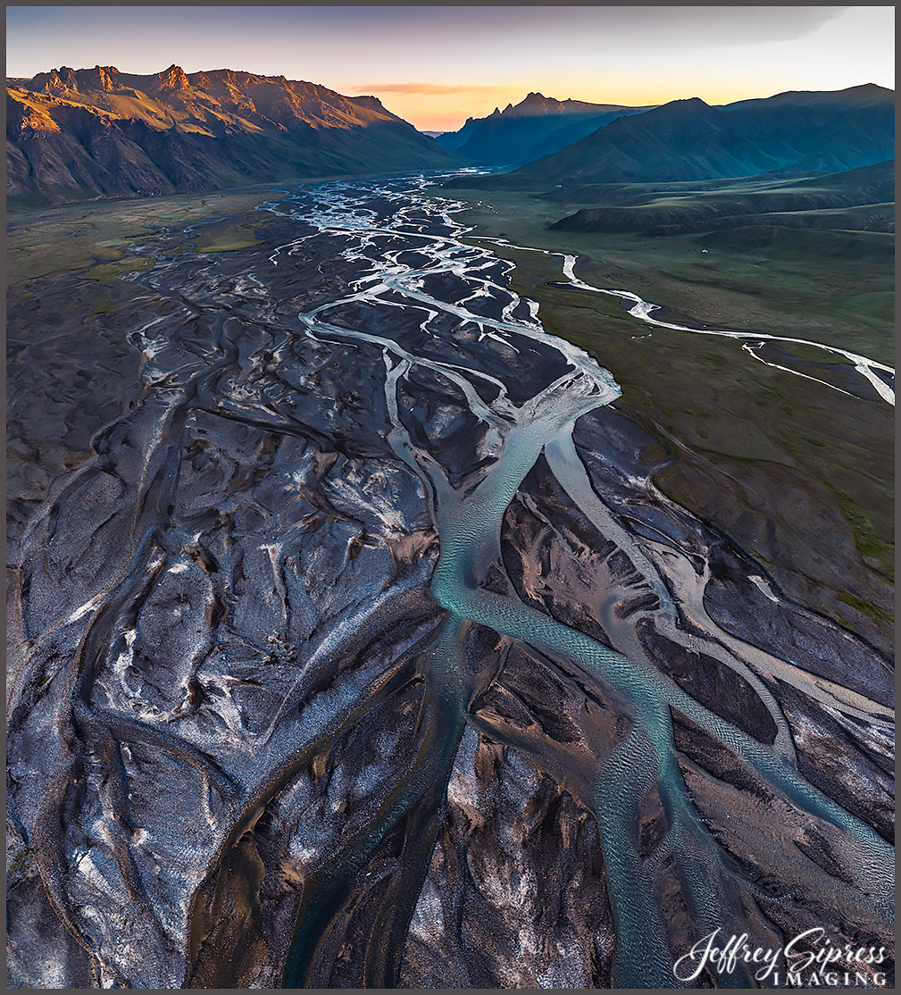
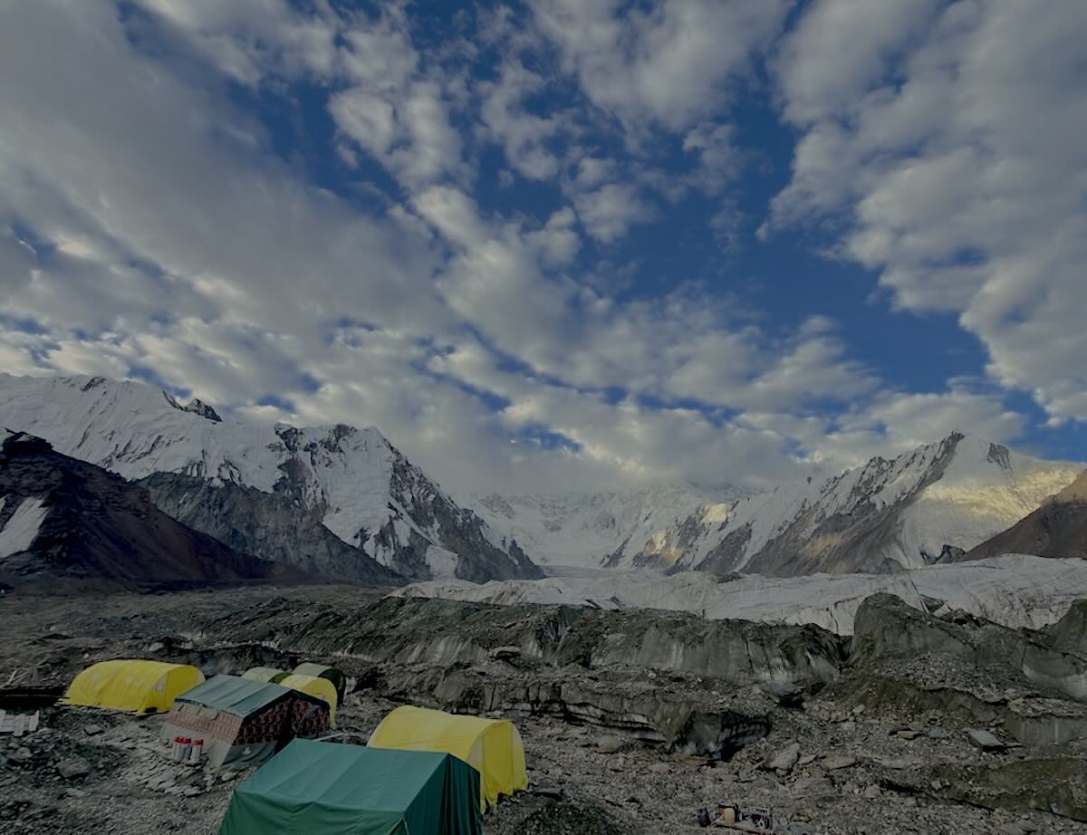
I dropped out of sight and connection for the past three weeks as I was on an expedition through the country of Kyrgyzstan. Not your mainstream destination, but one of the most exciting adventures I've been on. Spectacular scenery and culture. The mountains there are serious. Part of the journey was flying in a large ex-Soviet troop helicopter for 59 miles from our yurt camp to get to the tent base camp @13,400 ft and below Khan Tengri, a majestic 7,010-meter (23,000 ft) marble pyramid peak located on the border of Kyrgyzstan, Kazakhstan, and China in the Tien Shan range. I flew my drone up the glacier valley a couple of miles to make this first image. There were other glaciers in my surroundings. I was up there for two days, right between Khan Tengri and Pobeda Peak, at 24,406' and the tallest peak in the country. Yeah, it was a bit difficult to hike up there but I did walk out on the glacier and stomp around for a while one day (with a real camera). The second image is a nearby lower elevation river valley at sunrise. This country has a lot to offer, if you can figure out how to navigate it all. And if you can breathe at hi elevation.
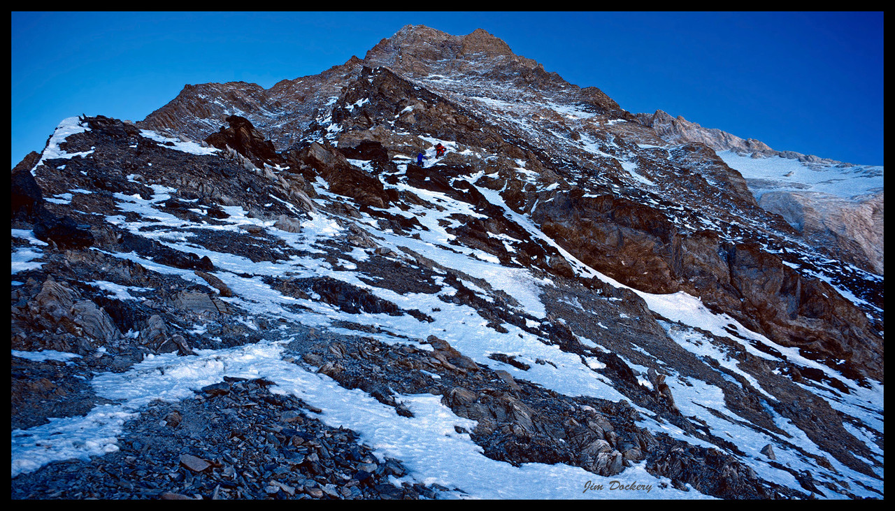
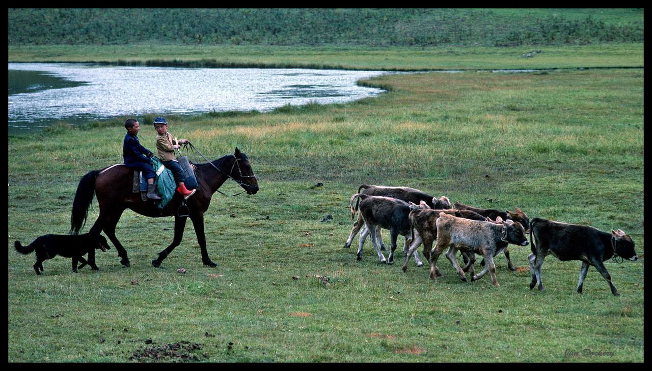
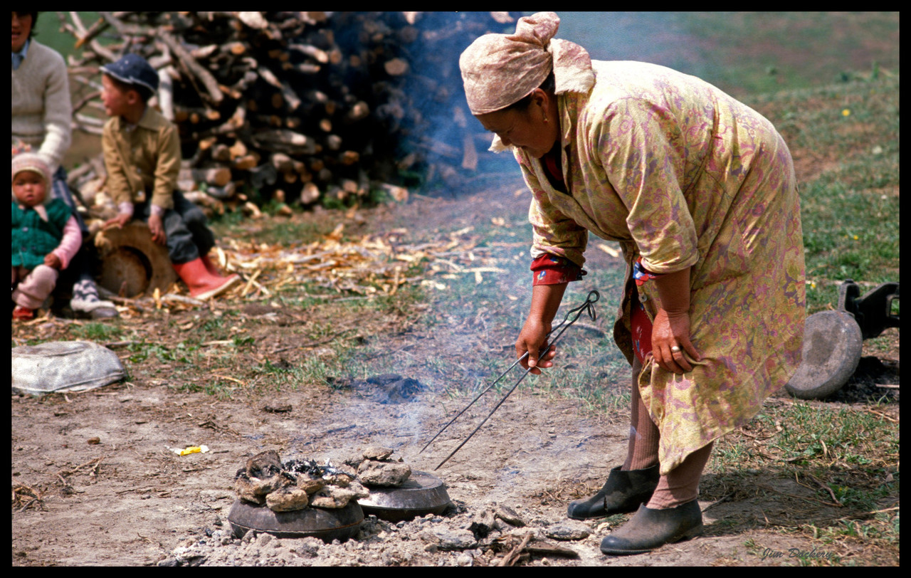
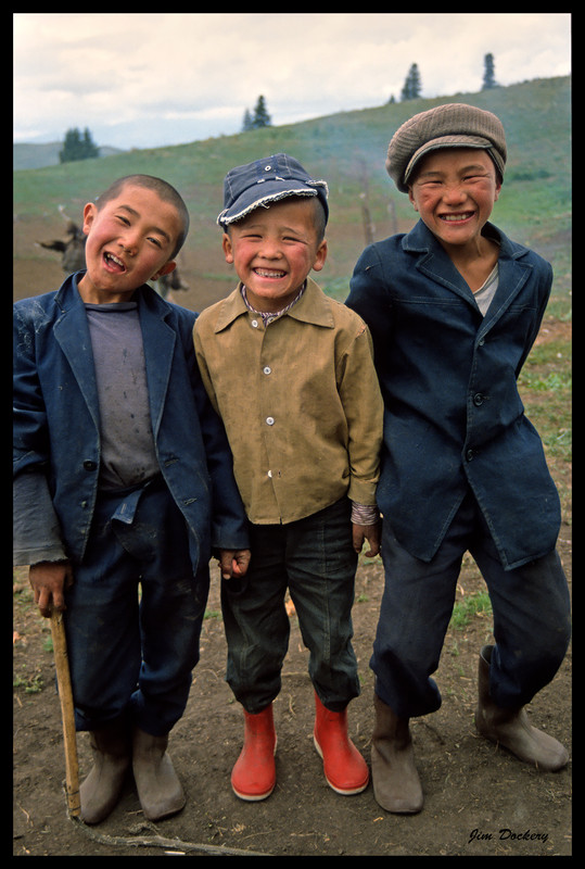
I was there back in 89 on a climbing expedition to make the first American ascent of Khan Tengri. The mountains were spectacular, but the highlight of the trip was a day I spent hiking around near the basecamp we flew out of. A couple miles out I met three boys on a donkey who invited me back to their yurt (I gave them some candy and gum that I always had on hand for such occasions). Their mom was starting to bake bread in metal tins in coals when I arrived so I got to shoot that and taste some hot bread and butter. She gave me a round to take back to share with my friends. I got their address in town and sent a bunch of pictures, but never knew if they got them.
Hope you don't mind if I piggy-back on your thread.
This is a remarkable landscape and pretty much unknown to and unexplored by most Western folks. I’m curious — were you there specifically for the photography, or was this part of some other sort of expedition. And can you tell us a bit more about the logistics of getting to and traveling in that country? (That part of the world is sort of on my list, though I’m not sure I’ll ever get there.)
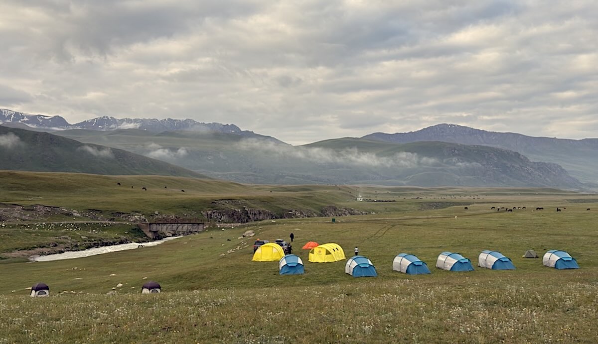
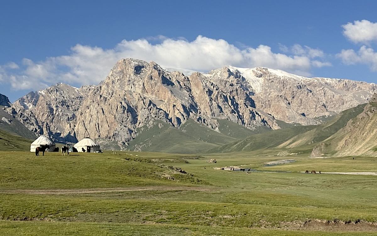
Hi Dan. This is a most remarkable trip, actually an expedition. Might be the trip of a lifetime. Many nights are spent in yurts or tented camps and every few days we head back down to a luxury hotel in a city for renewal. We are transported in three 4 x 4 Toyotas with two additional Support vehicles, carrying tents, latrines, chairs, tables, food, etc. They prepare and serve all the meals while we are out in the wild. If eight paying participants show up, there will be seven staff to take care of you throughout the 2 1/2 weeks. Most of the time we are traversing rough rocky dirt roads in very remote valleys and mountains, crossing dozens of rivers and washes. The location is a 13 hour time differential from our state, so it may take some adjusting. It is led by Justin Black, who has done this exceptional photo workshop/tour over a dozen times. You might know him as being the manager of Galen's Mountain light Gallery in Bishop for over a decade, and a superbly artistic photographer in his own right. Flying there is easy, but LAX to Bishkek is a 12 and then six hour flight. Check out the website write up and be sure to view the video within it. https://visionarywild.com/workshops/kyrgyzstan-wolfe/.